Credits to kriptick, 30.06.2003 please.
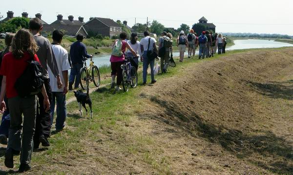
Protesters walked the proposed route of the second Arundel
bypass which threatens to destroy a beautiful part of the South Downs, the river
Arun water meadows and many acres of mixed forest.
The 2 last photos are VERY wide 360 degree panoramas and may take a minute or
two to download. To see the entire picture, scroll them sideways using the thumb
slider at the bottom of your browser.
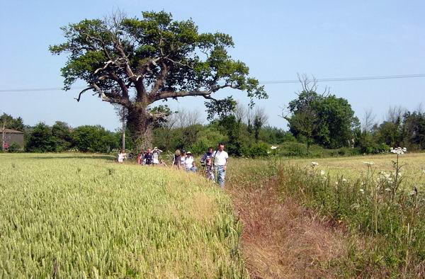
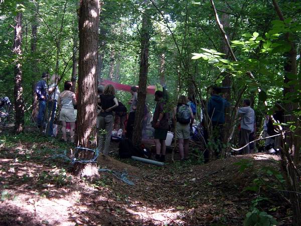
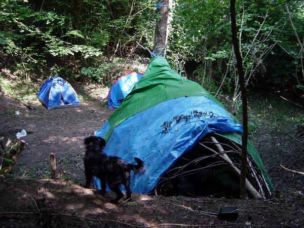
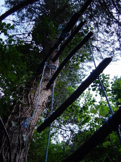
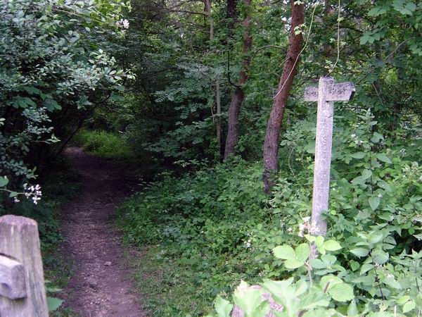


This promises to be yet another hideously destructive and over the top road scheme. Arundel in West Sussex already has a bypass, this is to be a bypass of the existing bypass. The countryside around here is stunningly beautiful. The water meadows and river Arun will be crossed by a motorway on 30 metre high stilts. Productive farmland will be destroyed and a huge 300 acre wood of mixed oak, Scots pine, sweet chestnut, ash and hazel will be chopped in half.